Aerial Services
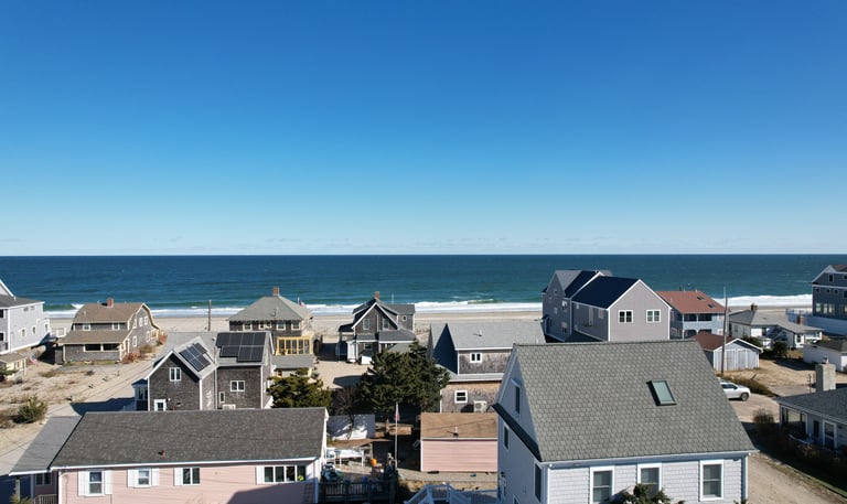
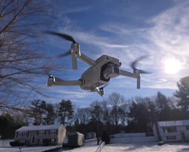
Specializing in drone aerial photography, video, mapping, and inspections.


Mapping Solutions
Our drone mapping solutions provide accurate, high-resolution aerial imagery for various applications, ensuring detailed insights and efficient project execution tailored to your specific needs and objectives.


Inspection Services
Utilizing advanced drone technology, our inspection services deliver comprehensive assessments for infrastructure, ensuring safety, compliance, and timely maintenance through precise aerial data collection and analysis.

Location Services
We provide expert drone aerial photography, video, mapping, and inspections tailored to your specific needs in various locations.
Areas
Massachusetts and the Greater Boston Area
Hours
7 AM - 5 PM